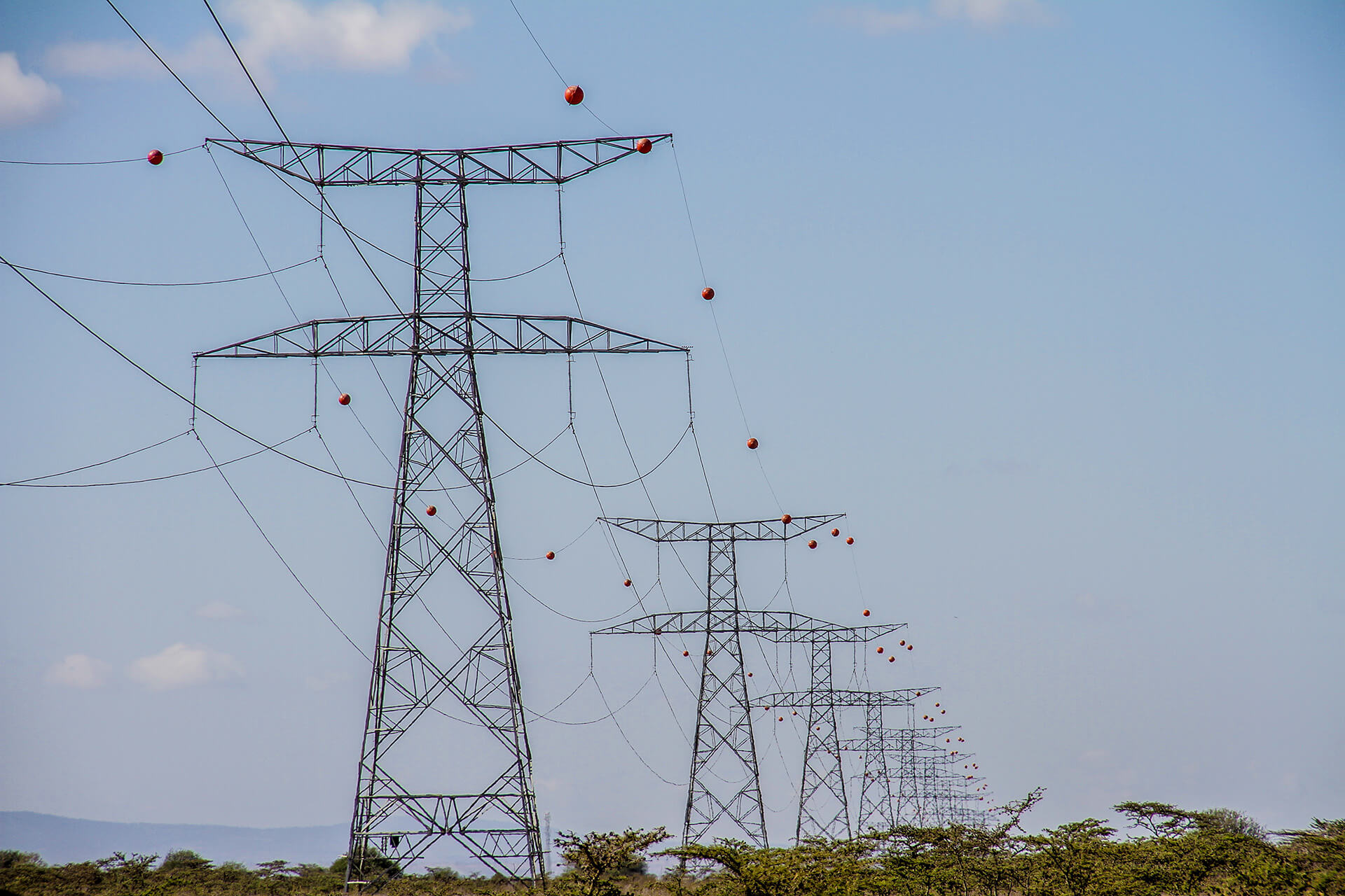
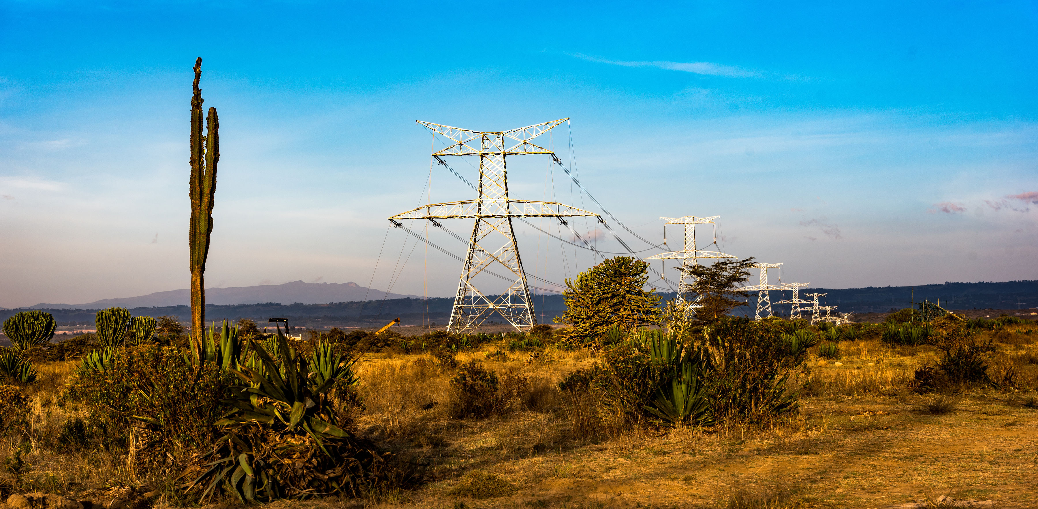
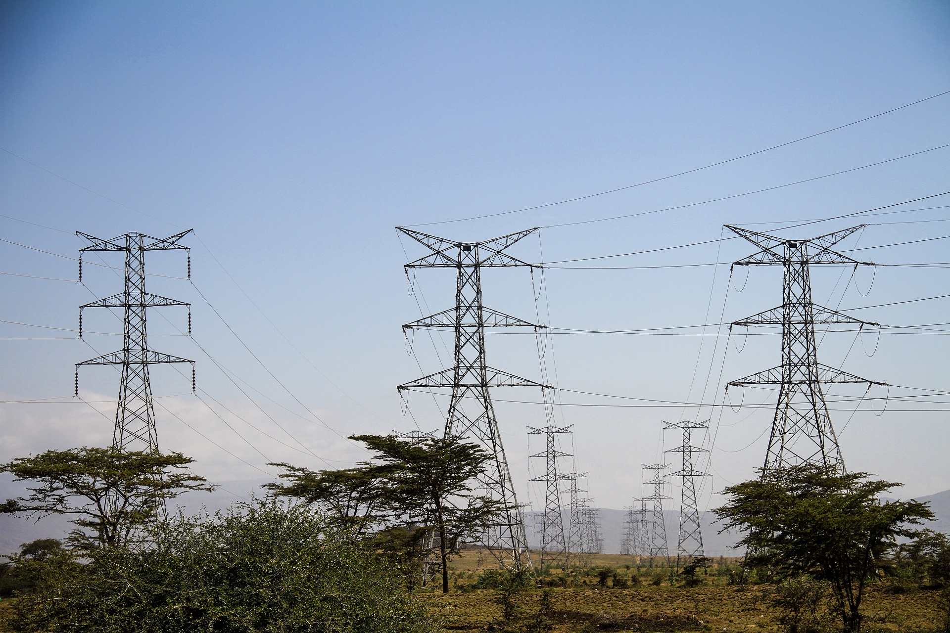
Optimum Geospatial provided critical surveying and mapping support for the design of the Rumuruti-Maralal KETRACO transmission line. Our involvement encompassed essential surveying and GIS activities.
To establish a precise geospatial framework for the project, we extended ground control points across the project area. This network of control points served as the foundation for accurate measurements and calculations. Additionally, we conducted detailed topographical mapping to capture the terrain's characteristics, including elevations, slopes, and landforms. This data was indispensable for optimal line routing, tower placement, and construction planning.
Recognizing the potential social impact of the transmission line, we also contributed to the resettlement action plan. Through accurate land surveying and mapping, we helped identify affected properties and communities, providing valuable data for developing fair and equitable resettlement strategies. Our work ensured that the project's social and environmental considerations were adequately addressed.
By providing accurate and comprehensive geospatial information, Optimum Geospatial played a crucial role in the successful design and planning of the Rumuruti-Maralal transmission line.
Client Name |
Kenya Electricity Transmmission Company (KETRACO) |
Client Company |
Kolmans Geomatic Consultants Ltd |
Project Start Date |
2018-08-01 |
Project End Date |
2019-09-30 |
P. O. Box 35828-00200
Nairobi, Kenya.
+254 722 653984
Monday-Friday (9:00 AM - 5:00 PM)
Saturday and Sunday: Off