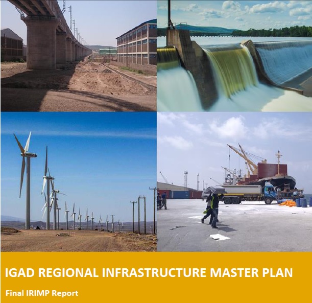
IGAD Regional Infrastructural Master Plan (IRIMP)
Optimum Geospatial was involved as a GIS consultant in the IGAD Regional Infrastructural Master Plan (IRIMP) which entailed the collection, analysis, and mapping of data on various economic sectors - transport, energy, ICT, and water.