Bathymetric surveys play a crucial role in understanding and managing river systems. These specialized surveys provide detailed information about river bed topography, water depths, and underwater features, offering invaluable data for various applications in hydrology, engineering, and environmental management.
Key applications of river bathymetric surveys include:
- Flood Management: Accurate river bed profiles help in modeling flood scenarios and designing flood control measures.
- Navigation: Depth information is crucial for maintaining safe navigational channels for boats and ships.
- Sediment Transport Studies: Bathymetric data aids in understanding erosion and deposition patterns within river systems.
- Habitat Assessment: Detailed river bed mapping helps identify and protect important aquatic habitats.
- Infrastructure Planning: Surveys inform the design and placement of bridges, dams, and other riverine structures.
- Dredging Operations: Bathymetric data guides efficient and targeted dredging activities.
Modern river bathymetric surveys typically employ a combination of technologies:
- Single-beam and Multibeam Echo Sounders: These acoustic devices measure water depths along survey lines.
- Side-Scan Sonar: Provides detailed imagery of the river bed, useful for identifying objects and features.
- ADCP (Acoustic Doppler Current Profiler): Measures water flow and velocity in addition to depth.
- LiDAR (Light Detection and Ranging): Used for shallow areas and can penetrate water to some extent.
- GPS/GNSS: Ensures accurate positioning of depth measurements.
The survey process involves:
- Planning survey lines based on river characteristics and project requirements
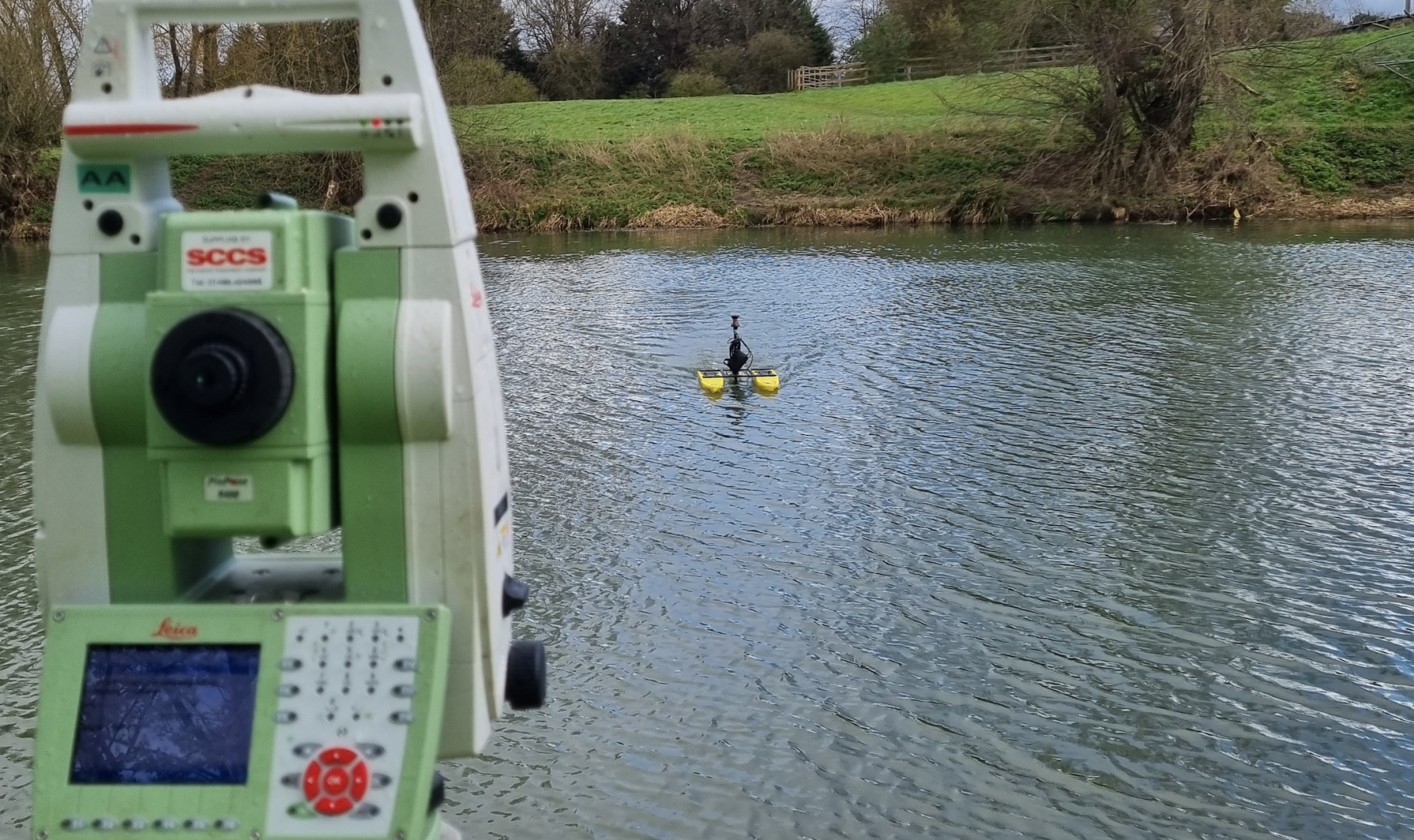
- Data collection using specialized survey boats or unmanned surface vessels (USVs)
- Data processing to correct for factors like water level variations and sound velocity
- Creation of detailed bathymetric maps, cross-sections, and 3D models
Challenges specific to river bathymetric surveys include:
- Dealing with varying water levels and flow rates
- Navigating in shallow or turbulent waters
- Accounting for suspended sediment that can affect acoustic measurements
- Integrating data from multiple sensors and techniques
As climate change and human activities continue to impact river systems, the importance of accurate and up-to-date bathymetric data grows. These surveys provide essential information for sustainable river management, helping balance human needs with environmental conservation.
Advancements in survey technology, such as autonomous survey boats and improved data processing algorithms, are making river bathymetric surveys more efficient and cost-effective. This allows for more frequent monitoring and better understanding of dynamic river systems, ultimately leading to improved management and protection of these vital waterways.
Share This