Optimum Geospatial is your trusted partner in delivering comprehensive surveying and GIS solutions. We are a leading firm dedicated to providing accurate, reliable, and innovative services across various industries. With a team of highly skilled professionals and the latest technological advancements, we cater to the diverse needs of our clients, ensuring the highest standards of quality and precision.
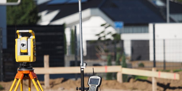
At Optimum Geospatial, we understand the critical role that precise data plays in the success of any project. Our services include land surveying, cadastral surveying, engineering surveying, geoinformation systems (GIS), aerial mapping, bathymetric surveys, and 3D laser scanning. Whether you are planning a construction project, managing land resources, or preserving historical sites, we have the expertise and technology to support your goals.
Our team is composed of experienced surveyors, GIS specialists, and technicians who are committed to excellence. We continuously invest in training and state-of-the-art equipment to stay ahead of industry advancements. This dedication ensures that we provide our clients with the most accurate and reliable data, enabling informed decision-making and successful project outcomes.
We pride ourselves on our client-focused approach. We work closely with you to understand your specific needs and tailor our services to meet them. Our commitment to delivering personalized solutions, combined with our technical expertise, makes us a trusted partner for projects of all sizes and complexities.
At Optimum Geospatial, we believe in building lasting relationships with our clients based on trust, integrity, and exceptional service. Contact us today to discover how our comprehensive surveying and geospatial services can enhance your project and drive success from the ground up.
To transform societies and economies through exceptional geospatial services. To spur and foster development by embracing and innovating cutting-edge geospatial technologies and methodologies.
To be the leading provider of innovative and effective geospatial solutions. We aspire to set the benchmark for quality, accuracy, and technological advancement in the surveying and geospatial industry, contributing to sustainable development.
P. O. Box 35828-00200
Nairobi, Kenya.
+254 722 653984
Monday-Friday (9:00 AM - 5:00 PM)
Saturday and Sunday: Off