Optimum Geospatial played a critical role in the feasibility study for urban road expansion in Busia and Vihiga counties through comprehensive surveying activities. The project entailed the topographical survey of about 200km of urban roads in the two counties, and the cadastral survey of the adjacent parcels of land along the roads..
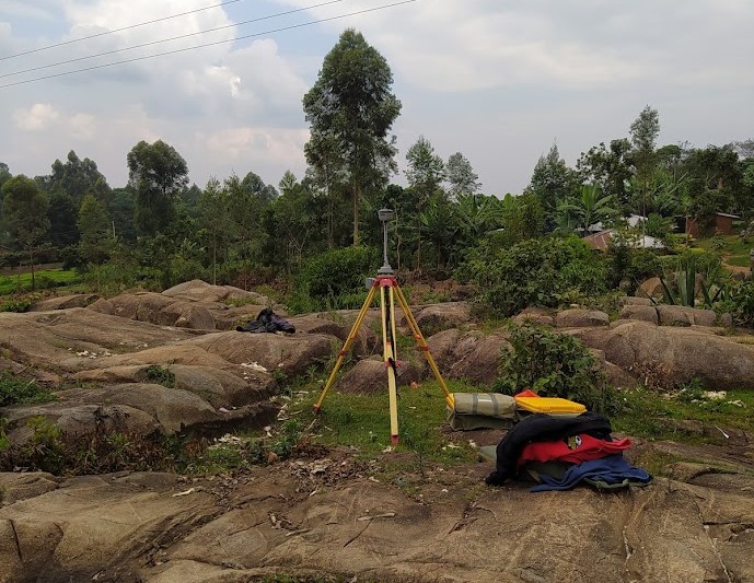
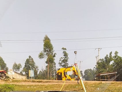
Our team was instrumental in extending ground control points, a crucial step in establishing a precise geospatial framework. This network of control points served as the reference for all subsequent measurements and calculations. Additionally, we undertook detailed topographical mapping, capturing the intricate terrain features of the project area. This data was essential for understanding the existing ground conditions, identifying potential challenges, and planning efficient road alignments.
Moreover, surveying played a pivotal role in the resettlement action plan. By accurately determining property boundaries and land ownership, we provided the necessary data for assessing the impact of road expansion on affected communities. This information was vital for developing fair and equitable resettlement strategies.
In essence, surveying provided the essential geospatial data that underpinned the entire feasibility study. Our accurate and reliable measurements were instrumental in informing engineering designs, environmental impact assessments, and social considerations, ultimately contributing to the successful planning and implementation of the urban road expansion project.
Client Name |
Kenya Urban Roads Authority (KURA) |
Client Company |
Africon Universal Consulting |
Project Start Date |
2019-08-05 |
Project End Date |
2020-12-31 |
P. O. Box 35828-00200
Nairobi, Kenya.
+254 722 653984
Monday-Friday (9:00 AM - 5:00 PM)
Saturday and Sunday: Off