The field of aerial mapping has undergone a dramatic transformation in recent years, with unmanned aerial vehicles (UAVs) or drones rapidly replacing traditional aircraft. This shift has revolutionized the way we capture, process, and utilize aerial data across various industries.
Historically, aerial mapping relied on manned aircraft equipped with specialized cameras and sensors. While effective, this method was costly, time-consuming, and often limited by weather conditions and airspace restrictions. Enter the era of drone technology, which has addressed these challenges and opened up new possibilities in aerial surveying.
Key factors driving the adoption of UAVs in aerial mapping include:
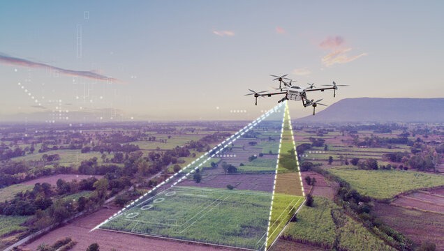
Modern mapping drones are equipped with high-resolution cameras, LiDAR sensors, and precise GPS systems. They can capture detailed imagery and 3D data for various applications, including:
The transition to drone-based mapping has also spurred advancements in data processing software. Photogrammetry and machine learning algorithms can now quickly transform raw drone imagery into accurate orthomosaics, 3D models, and other valuable deliverables.
While regulations and airspace restrictions initially posed challenges to widespread drone adoption, many countries have now implemented frameworks to integrate UAVs into their airspace safely. This has further accelerated the shift away from traditional aircraft in aerial mapping.
As drone technology continues to evolve, with improvements in flight time, payload capacity, and autonomous capabilities, the dominance of UAVs in aerial mapping is set to grow. This ongoing revolution promises to make high-quality aerial data more accessible and affordable across a wide range of industries and applications.
P. O. Box 35828-00200
Nairobi, Kenya.
+254 722 653984
Monday-Friday (9:00 AM - 5:00 PM)
Saturday and Sunday: Off